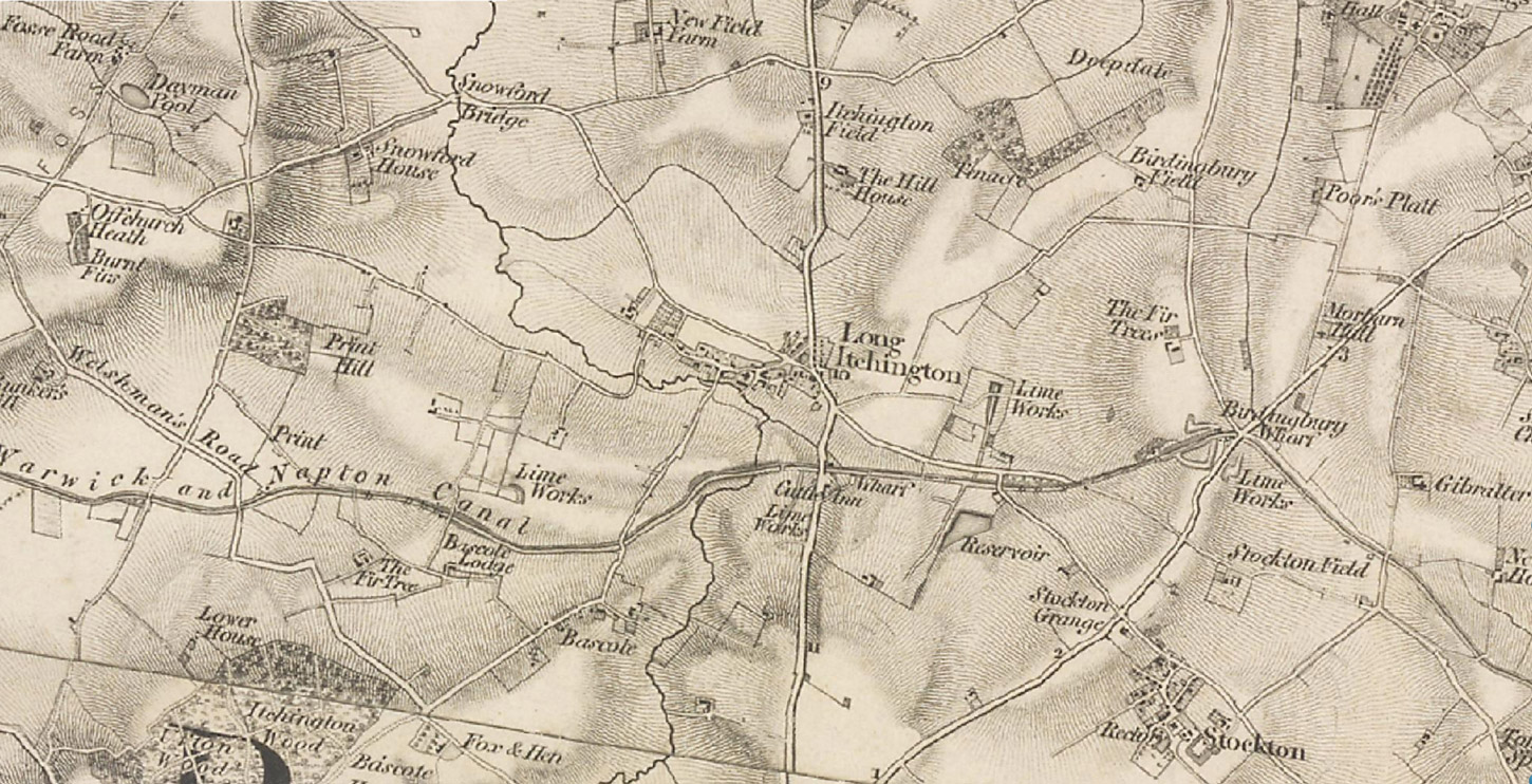
Note that what became the Griffin farm of Stockton Fields is marked simply Stockton Field (cf. the nearby Itchington Field and Birdingbury Field). These suggest the retention of Pre-Enclosure names. The first engravings on which the map is based were made not long after the Enclosure of the Common Fields in this area (1792 in Stockton) and in the later 19th century it was more logical to talk of fields, in the plural, so then, the Griffins farmed Stockton Fields and one of the sons, Thomas, tenanted Birdingbury Fields. On this map the Stockton lime works are still limited to the area close to Birdingbury Wharf where the first high-quality rock was discovered and where Thomas Lamb and his successor William Griffin had a small works on the south side of the Warwick and Napton Canal.
The name of the inn south of Long Itchington, the Cuttle, is a reminder of the large number of fossils of marine creatures that quarrying of the Blue Lias limestone uncovered. On the west side of the map “Welshman’s Road” crosses the canal. Known today as the Welsh Road, this is an old drovers’ road along which sheep were brought in from Wales. On the edge of the map it crosses a Roman road, the Fosse Way. On the other (E.) side of the map lies “Gibralter”, which - it could be speculated - was patriotically named as the Spanish tried time after time to wrest back control of the Rock from the British, though they had ceded it in a legal settlement, the Treaty of Utrecht, in 1713. Of course it could just have been that the ploughing was tough because of a lot of hard rock under the topsoil.
Ordnance Survey Map of Stockton area, 1830s<>1840sFirst Series, complete by 1844. 1:63,360 (1 inch = 1 mile)
|