


Maps |
|
|
|
|
|
|


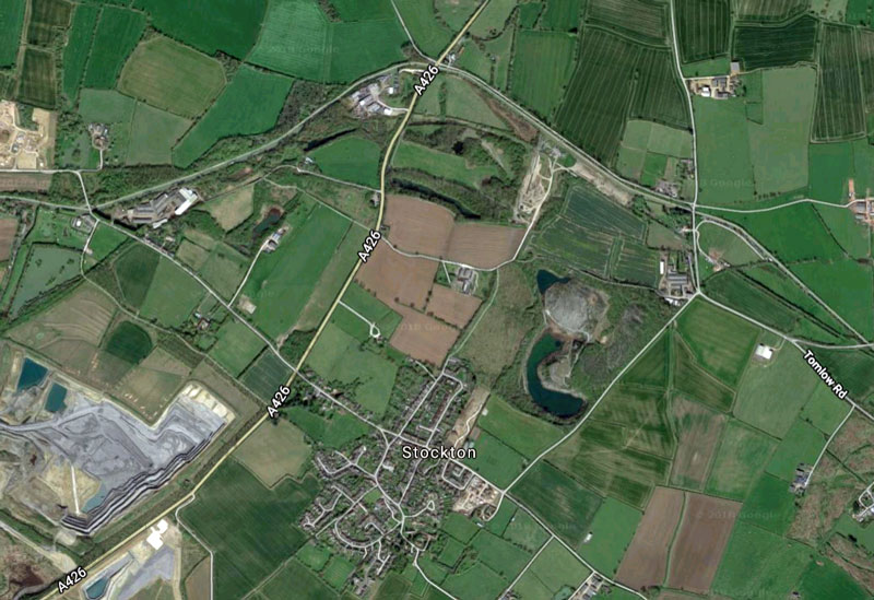
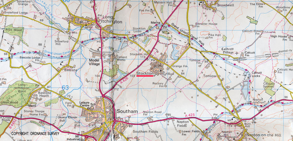
Area around Stockton as shown on a modern 1:50,000 Ordnance Survey map
Cherington, Stourton, Sutton-

| 2 Sitemap |
| 3 Maps |
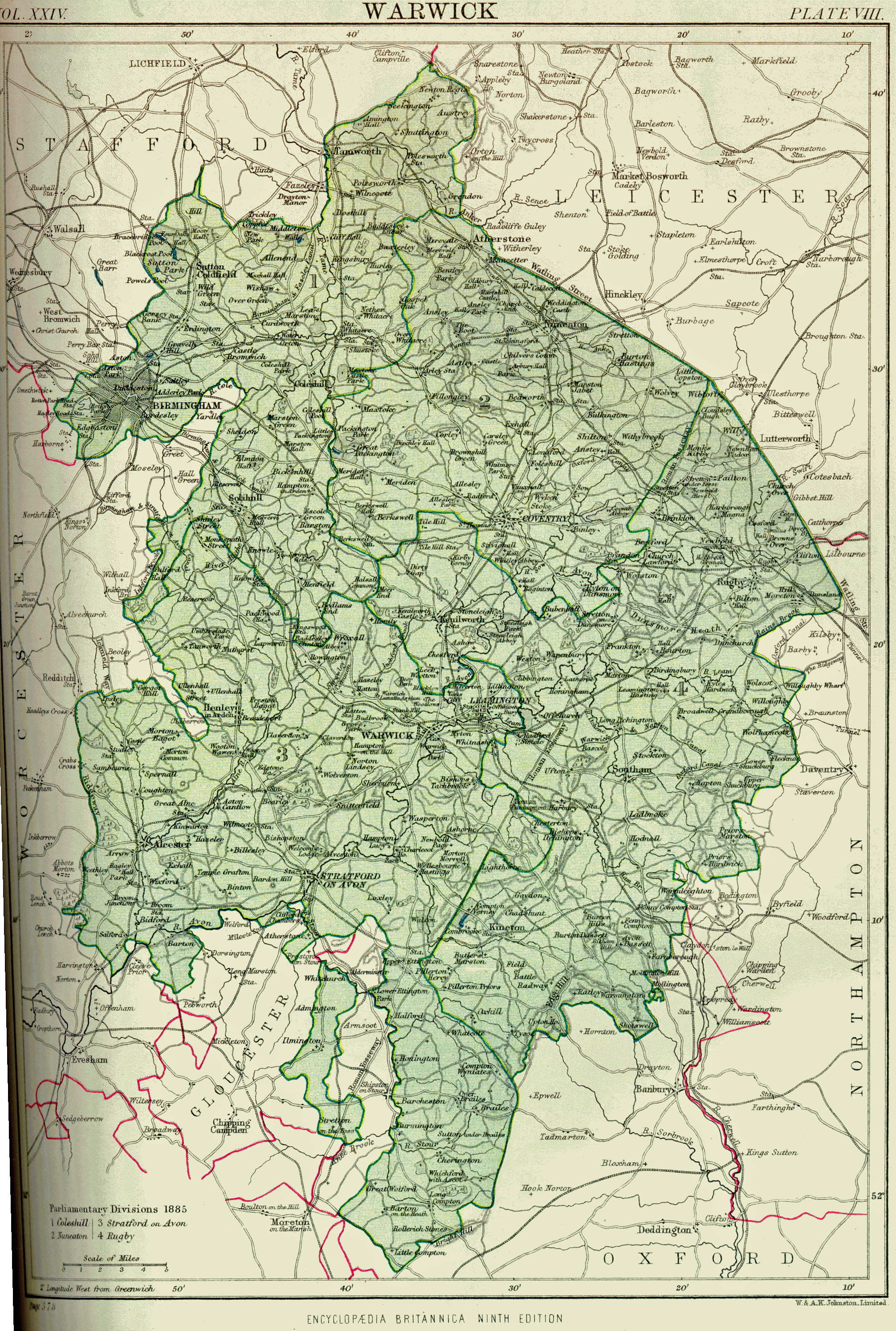
| Late Victorian map of Stockton |
| Pre 1844 O.S. map Stockton-Long Itchington |
| Stockton Fields - 2 |
| Stockton Fields - 3 |
| Stockton Fields - 4 |